Google To Pay $391.5 Million in Massive Location Tracking Probe
The settlement with 40 states is the largest multistate privacy payout in US history.
Expert nationwide installation services for fleet technologies.
In the largest privacy settlement of its kind, Google GOOG 0.00%↑ has agreed to pay $391.5 million to settle a multistate investigation into allegations it tracked user locations without their permission.
The investigation, led by Oregon and Nebraska with 38 other state attorney generals, found that Google mislead its users to think they had turned off location tracking features on their smartphones. However, the user location data was stored and then used for Google’s lucrative ad business.
“For years Google has prioritized profit over their users’ privacy,” said Oregon Attorney General Ellen Rosenblum in a statement. “They have been crafty and deceptive. Consumers thought they had turned off their location tracking features on Google, but the company continued to secretly record their movements and use that information for advertisers.”
In a related blog post, Google said that it was changing the way people control their privacy settings. The company launched auto-delete controls, giving users the ability to automatically delete data.
In addition, the company said it developed easier-to-understand settings “like Incognito mode on Google Maps, preventing searches or places that users navigate to from being saved to their account. The company also said it introduced more transparency tools, including Your Data in Maps and Search, which lets users access location settings from the company’s products.
The now-settled investigation was opened following a 2018 Associated Press article that said Google recorded users’ movements even when they told the platform not to.
In October, Location Business News reported that Google agreed to pay Arizona $85 million to settle a lawsuit that alleged the tech giant mislead consumers about how it they used location data via tracking smartphones.
Your next business idea, delivered weekly.
Trends tells you the next big thing – months before everyone else. Their dynamic team of business analysts already outlined 1,000+ vetted business ideas you can start in a weekend, and they send new ideas and market signals straight to your inbox weekly.
Try Trends for a week for only $1!
ESA Requests 500 Million Euros for PNT Projects
The European Space Agency is requesting 500 million euros over the next three years to support such initiatives as FutureNav. ESA, which is making the request at a ministerial council meeting, says the new funding will support projects that go beyond its EU-led Galileo satellite navigation system.

One program, called GENESIS, will consist of measurement technologies on a satellite to improve navigation and other applications. FutureNav will develop two advance satellite navigation technology missions.
Another program, called LEO-PNT, tests a proposed low Earth orbit constellation through a 6-12 satellite demonstration.
ESA would also support a project called Moonlight, which tests navigation and communications services for future Moon missions.
Discover investment opportunities in deep tech and fintech startups.
What if you were able to unleash technological innovations, grow businesses, and truly impact the way we live? And what if you could do it while potentially making investment returns? Our goal is to make that vision a reality.
Propel(x) is an investment platform that gives accredited investors the power to potentially change the world. By funding breakthrough technology startups, you may empower companies that are finding potential cures for debilitating diseases, creating abundant energy for all, and even taking us into space.
Other Location News:
News tip? Send them to kdennehy@driverlessreport.com. Go to www.locationbusinessnews.com for more news and an archive of stories.
Top News:
📱 Qualcomm Launches Snapdragon 8 Gen 2 Platform. The new module features GNSS, NavIC capable dual frequency GNSS (L1/L5) and sensor-assisted positioning. Also features urban pedestrian navigation with sidewalk accuracy and global freeway lane-level vehicle navigation.
Maps:
👍 Are Consumer Maps Dead? “We are instead on a path to the dreaded metaverse, a virtual world where we should all be thankful and glad to wander around as legless avatars with the aspirational goal of reaching social media nirvana. I don’t know about you, but, ugh.”
🌤Waymo Is Using Its Self-driving Taxis To Create Real-time Weather Maps. “The company has revealed that its latest car sensor arrays are creating real-time weather maps to improve ride hailing services in Phoenix and San Francisco.”
🗺 TomTom Begins Supporting MapLibre With $10,000 Donation. TomTom [Tom2] is contributing $10,000 to the MapLibre project and will also begin contributing code back to the project. TomTom uses the MapLibre GL JS library in its tech stack for web client-based map tile rendering.”
🤞 Esri and Microsoft Collaborate on Sustainable Agriculture Development in Africa. “Esri and Microsoft MSFT 0.00%↑ will create and launch technology solutions enabling organizations in Africa to perform crop-type mapping at scale to improve agricultural management.”
Connected and Autonomous Vehicles:
🙂 AWS and BMW Collaborating on Software for Vehicle Data. “As the first automaker to use the jointly developed software that will be part of the AWS for Automotive line, BMW will be a foundation for the “next-generation” auto industry technology. Other automakers will be able to integrate the software to add vehicle data sources, speed up vehicle and fleet application features, and extend life cycle management. The software will be designed to help automakers add advanced features and personalize the driver experience.”
🚗 Waymo Can Now Charge for Fully Driverless Services in San Francisco. “The California Department of Motor Vehicles approved an amendment to Waymo’s existing deployment permit Wednesday to include driverless, as well as drivered, operations. Now, Waymo will be able to charge for usage of its autonomous vehicles, which will operate without anyone in the driver’s seat, for services like food and grocery delivery.”
Drones:
🛩 Wing Brings Drone Delivery Options to DoorDash Customers in Logan, Australia. “A dedicated “DoorDash Air” carousel in the app highlights the items eligible for Wing drone delivery—and the GPS location of orders is tracked in real time. Unlike a standard DoorDash delivery, customers who order via drone will be asked to specify a delivery spot in the app where their package can be safely lowered from the drone once it arrives.”
😮 The German-made Anti-aircraft Gun Taking Down Russian Drones. “"It's relatively dumb, it has GPS guidance. It will fly to a target point, and can then pick its angle of attack... so it'll circle until it gets to the right bearing that you've set, and then it can pop up and potentially dive."“
Financial:
✔ NextNav Inc. Reports Third Quarter 2022 Results.
✔ NextNav Announces Sale of Common Shares. “Certain members of NextNav's NN 0.00%↑ executive leadership team sold approximately 796,000 shares of NextNav's common stock on Nov. 15, 2022."
✔ Smart Lidar Sensor Maker Robosense Raised Funds From Geely, BAIC and GAC.
✔ Sierra Wireless Reports Third Quarter 2022 Results.
Beautiful, custom travel maps – starting at $20
Atlas.co is the only map company that lets you add your custom route to your personalized map. The process is simple:
- Select your trip type and add your trip
- Style your map, move / edit your labels
- Select your size and material type and submit your order!
Location Industry Briefs
Send your news releases to kdennehy@driverlessreport.com. Go to www.locationbusinessnews.com for more news and an archive of stories.
Fugro Signs Agreement With Septentrio, Meinberg for Atomichron
Fugro has signed a cooperation agreement with GNSS receiver company Septentrio and equipment manufacturer Meinberg to launch its AtomiChron real-time synchronization and authentication service. Fugro says the technology eliminates time drift caused by clocks counting time at slightly different rates and provides extreme stability that surpasses current precision frequency standards.

Fugro AtomiChron includes Navigation Message Authentication (NMA) to ensure reception of genuine GNSS signals and time synchronization improvements, the company said. The service will be available in new Septentrio mosaic-T GNSS receivers, as well as a selection of Meinberg GNSS clocks.
Contact: Serge van de Ven, Fugro, 31 (0) 70 31 11129, www.fugro.com.
RadioIP Partners With NextNav
RadioIP has selected NextNav NN 0.00%↑ to power its VPN solutions with z-axis location intelligence. Through the NextNav Pinnacle network, RadioIP will provide end users with a location-intelligent network node that allows precise tracking without the screen presence of a traditional mobile app, the company said. RadioIP’s Armada VPN mobile app, which has x/y location capability, will integrate NextNav’s Pinnacle z-axis service to allow public safety leaders to discreetly locate personnel in complex urban environments.
Contact: NextNav, www.nextnav.com.
NXP Semiconductors Integrates U-blox Positioning Modules for OrangeBox
Thalwil, Switzerland-based u-blox [UBXN] has announced that NXP Semiconductors NXPI 0.00%↑ will integrate its positioning and wireless communications modules in their new OrangeBox connectivity domain controller (CDC) development platform. OrangeBox simplifies in-car architectures by unifying current and emerging wireless interfaces into a single, security-enhanced connectivity domain controller, the company said.

The OrangeBox solution integrates the u-blox JODY-W3 module to provide Wi-Fi 6 and dual-mode Bluetooth 5.3 technologies, and the ZED-F9K GNSS receiver to deliver decimeter-level positioning accuracy, the company said. The module also provides dual-mode Bluetooth 5.3, and targets the automotive market, both first mount in vehicles and aftermarket telematics, the company said.
Contact: Natacha Seitz, u-blox, 41 76 436 0788, natacha.seitz@u-blox.com, www.u-blox.com.
SFL Supports Geolocation Microsatellite Constellation
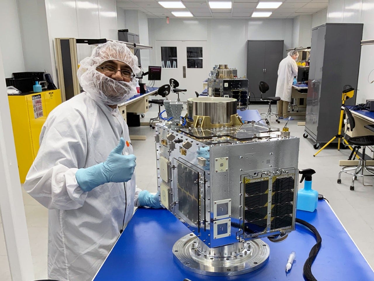
Space Flight Laboratory (SFL) has been contracted to support development of Clusters 7 through 11 in the HawkEye 360 radio frequency (RF) geolocation microsatellite constellation. SFL is designing, assembling, and integrating Cluster 9 at its Toronto headquarters, the company said.

The HawkEye 360 Constellation detects and geolocates RF signals for maritime situational awareness, emergency response, national security, and spectrum analysis applications. The first five clusters are now operating successfully in orbit with Cluster 6 expected to launch on Rocket Lab’s inaugural Electron mission from Wallops Island, Va., as early as December 2022.
Contact: Robert Zee, SFL, (416) 667-7400, info@utias-sfl.net, www.utias-sfl.net.
New RTK Rover Click Features Quectel GNSS Module
RTK Rover Click features Quectel’s LG69TAMMD, a dual-band multi-constellation GNSS module powered by Point One Navigation’s hardware. The module offers fast GNSS positioning, with centimeter-level accuracy, featuring the fifth generation of STMicroelectronics positioning receiver platform.
The Click board is suitable for PVT (Position, Velocity, and Time) applications such as drones, delivery robots, precision agriculture, mining/marine management, and automotive telematics, the company said.
Contact: MikroElektronika, www.mikroe.com.
Quuppa and Progility Partner in Australia
Quuppa and Australian tech integrator Progility Technologies have partnered to market Real-Time Location Services (RTLS) in Australia. Some of the markets include industry 4.0, retail, healthcare, sports and others. The use of RTLS, the companies say, will enable process and workflow optimization, inventory management and worker safety.
Contact: Sari Arjamo-Tuominen, Quuppa, sari.arjamo-tuominen@quuppa.com, www.quuppa.com.
Quectel Launches C-V2X Module
Quectel Wireless Solutions has launched the AG18 module, a Cellular Vehicle-to-Everything (C-V2X) module. AG18 supports vehicle-to-vehicle (V2V), vehicle-to-infrastructure (V2I) and vehicle-to-pedestrian (V2P) communications on the unified 5.9GHz intelligent transportation system (ITS) band, the company said.
AG18 features flexible positioning service options including L1+L5 dual frequency GNSS, Qualcomm Dead Reckoning (QDR3) and high-precision PPE (RTK) technologies, the company said.
Contact: Quectel, marketing@quectel.com, www.quectel.com.
Telit Announces New Smart Module
Telit [TTCNF] has announced the SE250B4 smart module. Evolving from the existing SE150A4, the SE250B4 is a full-featured “system on a module” that supports touch displays, advanced cameras and audio and digital sensor interfaces, the company said.
SE250B4 supports multimedia features and multiple wireless technologies to include LTE Category 4, Wi-Fi 5, Bluetooth 5.0 and GNSS.
Contact: Leslie Hart, Telit, (919) 415-1510, Leslie.Hart@Telit.com, www.telit.com.
FourKites and Sony Network Communications Partner
FourKites has announced a partnership with Sony Network Communications Europe. The partnership will integrate data from Visilion, Sony’s real-time cargo and asset tracking solution, with FourKites’ end-to-end supply chain visibility platform. Customers will be able to view FourKites’ real-time data for shipments with Visilion’s data on cargo location and condition, the company said.
Contact: Marianna Vyridi, for FourKites, (650) 468-3263
mvyridi@bigvalley.co, www.fourkites.com.
News Without Motives.
1440 is the daily newsletter helping 2M+ Americans stay informed—it’s news without motives, edited to be unbiased as humanly possible. The team at 1440 scours over 100+ sources so you don't have to. Culture, science, sports, politics, business, and everything in between - in a five-minute read each morning, 100% free.
Parkopedia Releases Global Parking Index
Parkopedia has released its 2022 Global Parking Index, which is based on the company’s data covering more than 90 million parking spaces across 20,000 cities in 90 countries. New York remains the most expensive city for 2-hour off-street parking, with an average of $43.10 ($52.65 daily). Parkopedia has identified three key trends driving parking price changes: supply and demand, green initiatives and rising inflation. Click here to access the full report..
Contact: Adam Calland, Parkopedia, 44(0)7838219129, adam.calland@parkopedia.com, www.busineness.parkopedia.com.
Coencorp Grabs Fleet Management Contract
Pipeline construction company Keystone Energy Services has placed an order for a fleet management solution from Coencorp. The award, worth 200,000 Canadian dollars, is for Coencorp's SM2-FUEL fully automated fleet fuel system, SM2-MAINTAIN maintenance management solution, SM2-LOCATE fleet telematics and real-time GPS asset tracking.
Contact: Coencorp, www.coencorp.com.
Semtech Partners With Exeger
Semtech Corporation SMTC 0.00%↑ has announced a collaboration with Swedish solar cell company Exeger to combine the company’s LoRa Edge asset management platform with Exeger’s Powerfoyle solar cell technology. Semtech’s LoRa Edge scans GNSS satellites as well as Wi-Fi SSIDs and partitions the processing between IoT devices and the LoRa Cloud to determine location, the company said. The solar cell technology will extend battery life for asset trackers, the company said.
Contact: Tam Nguyen, Semtech, pr@semtech.com, www.semtech.com.
Xcite Locate and Cox 2M Partner
Xcite Locate has partnered with Cox 2M to offer LotVision, a real-time GPS vehicle location product for dealerships. Xcite Locate allows dealers to optimize lot throughput, which increases staff productivity, reduces vehicle days to photos, and gets vehicles ready to sell faster, the company said.
Dealers, vendors, and Xcite's 500-plus team of photographers will now have access to real-time GPS data from vehicles, powered by LotVision from Cox 2M, allowing them track down cars that are missing photos, the company said.
Contact: Xcite Automotive, (800) 898-5161, sales@xciteauto.com, www.xciteauto.com.
New Company Develops Anti-Jamming GPS Monitoring System
Canada-based SJAWS Technologies has developed a GPS monitoring system to address spoofing and jamming issues. "The GPS navigation signals that maritime, terrestrial and aviation industries rely on are all vulnerable to interference and manipulation,” says said SJAWS CEO Peter Mueller, co-founder of RX Networks, whose company offers a service called Skysweeper.
Contact: SJAWS, https://sjaws.com/sp.
People
The Resilient Navigation and Timing Foundation has named Logan Scott to its International Advisory Council. Scott, with 40 years of military and civil GPS systems engineering experience, is a consultant specializing in radio frequency signal processing and waveform design. At Texas Instruments he pioneered approaches for building high-performance, jamming-resistant digital receivers and adaptive arrays. At Omnipoint (now T-Mobile), he developed spectrum sharing techniques that led to a Pioneer’s preference award from the FCC.
Airbiquity has appointed Claes Valentin as vice president Europe. Valentin held leadership positions at Delphi Automotive, Aptiv, VMware, ZF Group and Foretellix.
Jobs
Corporate Strategy Manager. HERE Technologies.
SVP Sales Americas (Remote). HERE Technologies.
Click HERE to Join our growing Location Business News LinkedIn Group!


