HERE Introduces UniMap at CES
UniMap allows customers to have unified maps that are refreshed in seconds
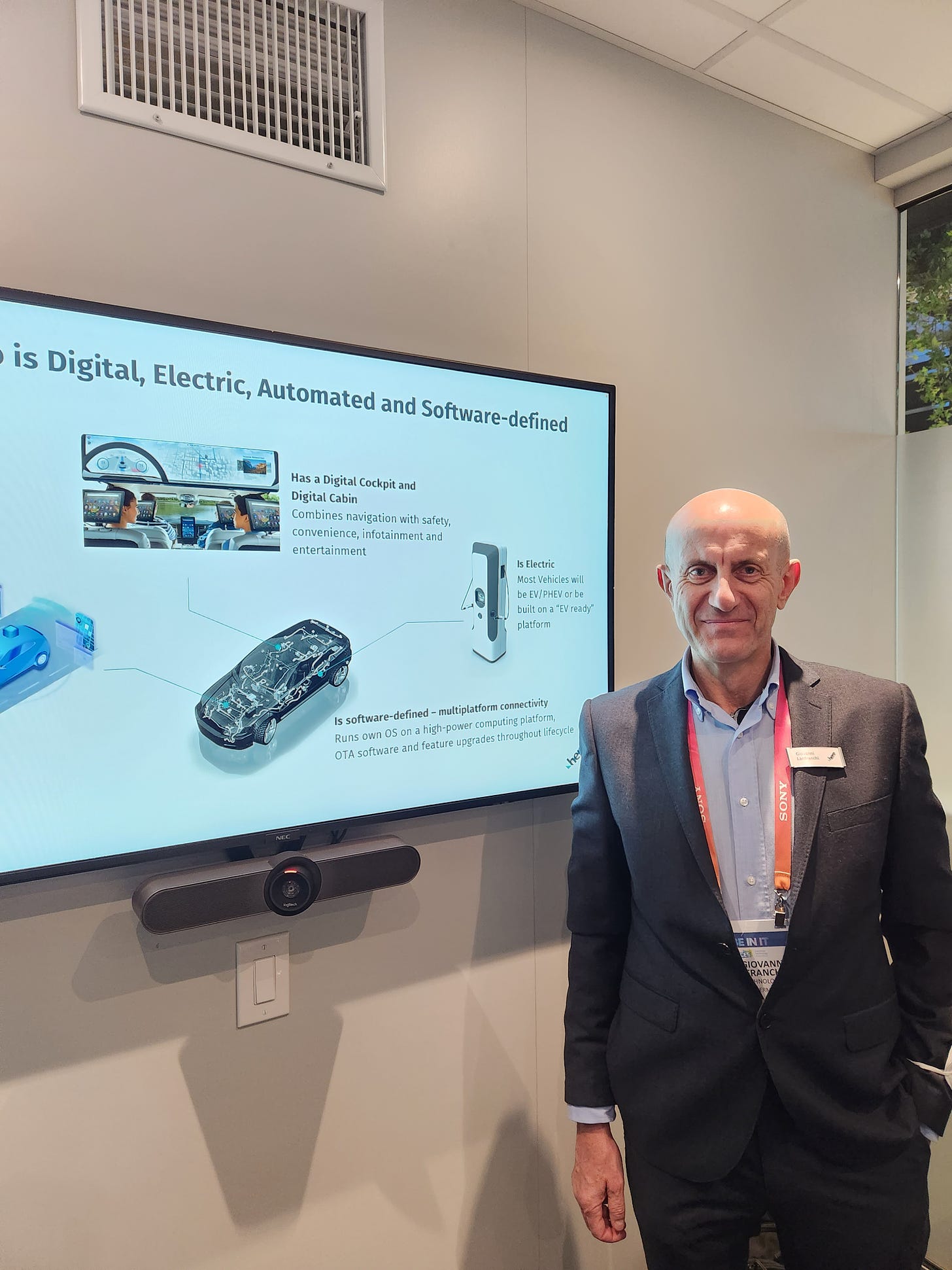
LAS VEGAS—Saying that it enables rapid creation of digital maps and location products, HERE Technologies launched UniMap this week here at CES. UniMap provides up-to-date and unified map content for automated driving, logistics and enterprise markets, the company said.
While mapping updates used to take months, UniMap allows customers to have unified maps that are refreshed in seconds, said Giovanni Lanfranchi, HERE’s senior vice president and chief product & technology officer.
“This a transformation we started three years ago. We said, let’s really unify all the pipelines we have into one single end-to-end automated pipeline,” he said. “From there, we can feed use cases from classic car navigation, search places, Level 2-3 autonomous driving and navigation on demand.”
HERE has been developing the technology with such automotive companies as BMW Group. UniMap is set for a rollout to select customers this year before being available to all company customers in 2024.
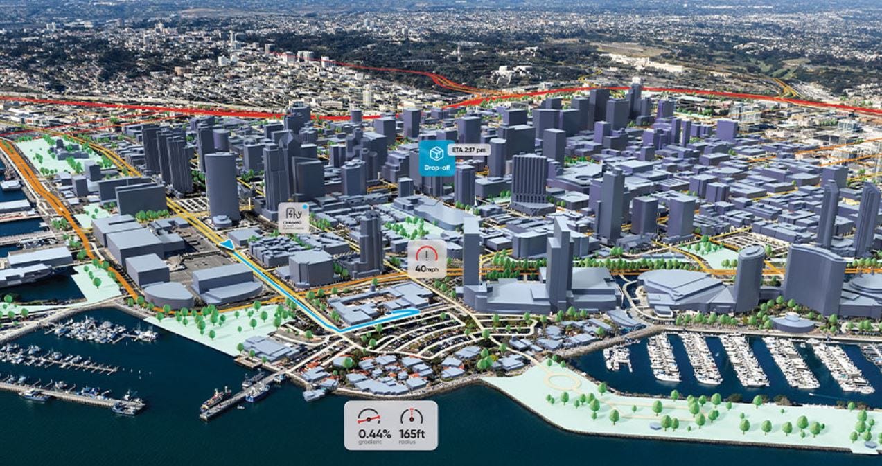
UniMap uses AI models to automate 500 million kilometers of vehicle probe and sensor data every hour, extract map features such as 2D and 3D positioning of road signs, validate speed limits and to build missing road geometry, the company said.
“We are able to produce an entire continent’s [map data] in 24 hours. The value we are providing is [map] freshness—it keeps latency very low,” Lanfranchi said. “No one in the industry has this.”
HERE also released Automated Driving Zones at CES, which is cloud-based software that automakers can use to decide where, when and under what operating conditions is it safe to activate automated driving capabilities on their cars. To keep cars safe, automakers need to have a defined Operational Design Domain, or ODD, that characterizes the operating conditions—something that the HERE software can define, the company said.
In other HERE CES announcements:
The company launched a new service that predicts the likelihood of an electric vehicle (EV) public charge point being available in the future. The services incorporates both EV infrastructure supply and real-world user demand, while factoring in variables such as weather, time and day.
HERE Road Alerts allow drivers to have accurate and timely information about hazards on the road ahead to make better and safer driving decisions.
HERE Location Services features an on-premise service offering that allows customers and partners in healthcare, tech, and more to install and run company software directly on their servers or cloud environment.
HERE’s platform now gives companies the power to use their own places of interest data to customize search results on top of HERE Map Content for B2C brands.
Luminar Acquires Civil Maps
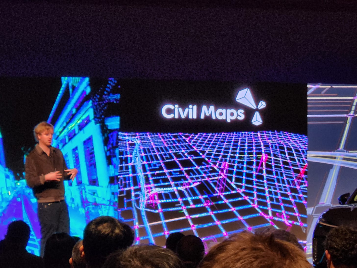
LAS VEGAS—Luminar LAZR 0.00%↑ founder and CEO Austin Russell announced at CES that his company has purchased HD mapping startup San Francisco-based Civil Maps to make it more than just a lidar company. Financial details were not disclosed, but Russell said it was more than “eight figures.”
Luminar will integrate the Civil Maps capabilities into its Sentinel platform. The Sentinel software suite will be integrated into such vehicles as Volvo’s new EX90.
Unlike the companies focusing on robo taxis, Russell said his company does not view his company’s lidar technology as something that will replace a driver, but will enhance capabilities.
In other CES news:
FocalPoint announced a strategic investment from GM Ventures GM 0.00%↑
and will collaborate with GM for GPS technologies integrated into the automotive market. The collaboration with GM will focus on possible application of the company’s positioning technology in its vehicles, including enhancements and expansion of its Super Cruise.
ZF is partnering with Beep, an autonomous shuttle operator, to deliver thousands of shuttles to customers in the next few years. ZF launched a Level 4 autonomous shuttle at CES, which Beep will offer as a mobility-as-a-service.
Quest Global has announced its partnership with TomTom [TOM2] to deliver software and applications for TomTom's Digital Cockpit platform. The two companies will work with leading OEM's across USA, Europe, and APAC, as part of this agreement.
Quectel launched 5G and GNSS combo antennas for location services in intelligent transportation and telematics. The company also launched its automotive-grade 5G NR Release 16 modules to support autonomous driving.
The Indy Autonomous Challenge (IAC) announced that it will partner with the Milan Monza Motor Show (MIMO) to advance its autonomous racecars to road course competition in 2023 and beyond.
See next week’s issue for full CES coverage. Go to our website, www.locationbusinessnews.com, for breaking CES news.
Google Pays $29.5 Million to Settle Location Tracking Lawsuits
Google GOOG 0.00%↑ has settled location tracking lawsuits worth $29.5 million that were filed by Washington, D.C., and the state of Indiana. Google will pay Washington, D.C., $9.5 million while $20 million will go to Indiana.
As Location Business News reported last month, Google agreed to pay 40 states $391.5 million to settle similar allegations that claimed the search engine giant tracked users’ location without their consent. Indiana branched off of this lawsuit to get more settlement money, according to the Indiana attorney general’s office.
"Google claims that changing your device and account settings protects your data. The truth is, since 2014, Google has systematically surveilled users no matter what settings they choose," tweeted D.C. Attorney General Karl Racine, last year.
The overall investigation, led by Oregon and Nebraska with 38 other state attorney generals, found that Google mislead its users to think they had turned off location tracking features on their smartphones. However, the user location data was stored and then used for Google’s lucrative ad business.
Hexagon Partners With ZF Group for Mass-production Autonomous Driving Systems, Announces GNSS Test Beds in China
Hexagon AB announced a partnership with Germany-based ZF Group that integrates its software positioning engine and GNSS correction services into mass-production advanced driver assistance systems (ADAS) and autonomous driving solutions. Hexagon's software positioning engine and correction services will be integrated into ZF's ProConnect platform.
ZF's ProConnect connectivity platform, which enables full vehicle communication (vehicle-to-vehicle, vehicle-to-satellite and vehicle-to-network). Hexagon's correction services and software positioning engine feature dual-frequency and multi-constellation GNSS signals along with tightly coupled inertial capabilities, the company said. Hexagon's TerraStar-X PPP (precise point positioning) correction service ensures accuracy and positioning reliability for ADAS and all levels of autonomous driving solutions, the company said.
In other company news, last year Hexagon’s Autonomy & Positioning division and Dayou announced their partnership for delivering GNSS correction services to the Chinese market. The companies are now announcing product development test beds in Beijing, Shanghai, Anqing and Shenzhen for OEMs in the automotive and micromobility industries. Companies leverage these test beds with consumer and automotive-grade GNSS receivers to develop advanced driver assistance systems (ADAS), smart products, safety-critical solutions, mobile applications and more, the company said.
Contact: Kristin Christensen, Hexagon AB, (404) 554-0972, media@hexagon.com.
Your next business idea, delivered weekly.
Trends tells you the next big thing – months before everyone else. Their dynamic team of business analysts already outlined 1,000+ vetted business ideas you can start in a weekend, and they send new ideas and market signals straight to your inbox weekly.
Try Trends for a week for only $1!
Tech Companies To Develop Open Map Data…And Counter Google
At our deadline last month, The Linux Foundation partnered with Amazon Web Services AMZN 0.00%↑ , Meta META 0.00%↑, Microsoft MSFT 0.00%↑ and TomTom [TOM2] to develop an interoperable and open map. However, industry sources say the announcement fires a shot across the bow of Google Maps GOOG 0.00%↑ in that it is direct competition to a platform that has been dominate in the mapping industry for more than a decade.
The new effort, Overture Maps Foundation, allows companies to contribute their own data as the physical world changes, the companies said in a news release. In addition to collaborative map building, Overture plans to deliver a global entity reference system, allow for quality assurance processes and define a structured data schema.
“Mapping the physical environment and every community in the world, even as they grow and change, is a massively complex challenge that no one organization can manage. Industry needs to come together to do this for the benefit of all,” said Jim Zemlin, executive director for the Linux Foundation, in a statement.
The large partnered tech companies have a vested interested in new, and improved, maps. They already provide services that include local search and discovery, routing and navigation, logistics, mobility, autonomous driving and data visualization. However, Overture will spur new map services including augmented reality applications “to deliver rich social, gaming, education, and productivity experiences.”
Because Google Maps has held an overpowering role in the industry, such companies as TomTom have been negatively impacted. For its part, the Dutch mapmaker, which overhauled its maps platform in November, says collaborative mapmaking is central to its strategy. “The Overture Maps Foundation provides the framework to accelerate our goals,” said TomTom CEO Harold Goddijn, in a statement. “TomTom’s Maps Platform will leverage the combination of the Overture base map, a broad range of other data, and TomTom’s proprietary data in a continuously integrated and quality-controlled product that serves a broad range of use cases, including the most demanding applications like advanced navigation, search, and automated driving.”
Overall, the new entity said its goal is to expand its membership beyond the founding companies to improve map data. Overture expects to release its first datasets in the first half of 2023.
Contact: Overture Maps Foundation, info@overturemaps.org.
Meet urban mobility key leading players, policy makers, governments, companies, institutions, NGOs, startups at Autonomy Mobility World Expo! Official Location Business News media partner.
Maxar Technologies To Be Acquired by Advent International for $6.4 Billion
In a deal that broke after Location Business News’ December deadline, Westminster, Colo.-based Maxar Technologies MAXR 0.00%↑ will be acquired by private equity investor Advent International for $6.4 billion. Advent has agreed to acquire all outstanding shares of Maxar common stock for $53 per share.
Maxar, publicly traded under the MAXR ticker, will become a private company after the deal’s closing, which is expected in mid-2023. Advent said that Maxar, as a private company, will be able to “accelerate investments in next-generation satellite technologies.” These include delivery of the new Legion 7 and 8 satellites and growing its machine learning and 3D mapping business.

The company said that it is expected that it will retain the Maxar named and continue to operate its headquarters in Westminster. Maxar Technologies was created in 2017 from the combination of MacDonald, Dettwiler and Associates (MDA) and DigitalGlobe, which was involved in several location ventures and partnerships in the early 2000s.
Contact: Fernando Vivanco, Maxar, (720) 877-5220, fernando.vivanco@maxar.com, www.maxar.com.
Other Location News:
News tip? Send them to kdennehy@driverlessreport.com. Go to www.locationbusinessnews.com for more news and an archive of stories.
Top News:
✔ Trimble Raises $1 Billion in Debt on Heels of Acquisition Plan. Trimble TRMB 0.00%↑ said it raised $1 billion in debt with Bank of America BAC 0.00%↑ as it prepares to acquire a Germany-based Transporeon. Trimble entered into a term loan credit agreement for a $1 billion unsecured delayed draw term loan facility. The $1 billion consists of a $500 million, three-year tranche and a $500 million five-year tranche.
📱 FCC Proposes Rules to Improve Routing of Wireless 911 Calls and Texts. “The Commission has now adopted a Notice of Proposed Rulemaking that would require wireless providers and certain text providers to: (1) deploy technology that supports location-based routing on their Internet Protocol (IP)-based networks; (2) utilize location-based routing to route all 911 voice calls…” And other location provisions.
🛰 GPS Signals Are Being Disrupted in Russian Cities. “Navigation system monitors have seen a recent uptick in interruptions since Ukraine began launching long-range drone attacks.”
🤔 U-blox Prohibits the Use of GNSS Modules in Military Drones. “U-blox strongly condemns the invasion of Ukraine by Russia. U-blox has been made aware of the use of certain GNSS modules in certain Russian reconnaissance drones. Since 2002, u-blox applies a company policy that its products must not be used in weapons – including systems for target identification.”
🚀 Airbus Achieves Key Milestone on EGNOS European Satellite-based Navigation Augmentation System. “Airbus [EADSY] has successfully achieved the System Critical Design Review (CDR) on the EGNOS V3 satellite-based augmentation system.”
Maps:
🗺 12 Map Happenings That Rocked Our World: Part 4. “Solving the longitude problem ultimately helped prevent disasters, enabled global travel and, more importantly, bootstrapped global trade. Solving the problem of generating energy using a fusion reactor would similarly help prevent (climate) disasters, boost global production efficiency (through cheap energy) and boost global trade.”
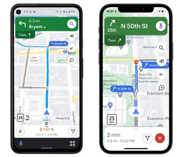
😒 Google Needs to Fix Google Maps ASAP, Users Already Tempted to Abandon the App. “The rerouting system bundled with Google Maps is misbehaving in the most awful ways, and this has attracted a new wave of criticism upon the app on the Google Play Store.”
👍 Redesigned Apple Maps Experience Expands to Users in These Five Countries. “The company announced that the new Apple Maps experience is now available in the Netherlands, Belgium, Liechtenstein, Luxembourg, and Switzerland. With this upgrade, users in those five countries can expect faster and more accurate navigation, more detailed graphics and cartography, 3D visualizations for landmarks, and more.”
Connected and Autonomous Vehicles:
🤞 U.S. Lawmakers Want Buttigieg To Speed Deployment of Connected Vehicles. Democratic Representative Peter DeFazio and incoming chair Sam Graves in a letter Thursday urged Transportation (USDOT) Secretary Pete Buttigieg to help ensure automakers can deploy "vehicle-to-everything" (V2X) technologies to use cellular transmissions to avoid crashes and help address the rising number of U.S. traffic deaths.”
😮 Lidar Maker Quanergy Files Chapter 11 Bankruptcy. “After going public 10 months ago via a SPAC with China’s CITIC Capital, at an implied $1.4 billion equity value, lidar maker Quanergy [QNGY] has filed for Chapter 11 bankruptcy. Quanergy is now looking for a buyer under section 363 of the Bankruptcy Code.”
😐 Autonomous Vehicles Reality Check Part 1: The Argo.ai Headline That Got Buried. “The most damning articles rely on opinions from Anthony ‘self-driving cars are going nowhere’ Levandowski and George ‘AV’s are a scam’ Hotz. Both were pivotal figures in the early years of commercial autonomous vehicle development, brash pioneers with the ‘move fast and break things’ startup mentality.”
☹ Self-driving Truck Company TuSimple To Lay Off 25% Of Workforce. “The layoffs come a couple of weeks after TuSimple and Navistar ended their deal to co-develop purpose-built autonomous semi trucks.”
🙁 Do Cruise's AVs Brake-check Other Drivers? Feds Are Investigating. “Three Cruise AVs have been rear-ended after braking too hard while being followed.”
Drones:
🛩Veterans Health Administration and Verizon Test 5G MEC and Drones. “Verizon Public Sector VZ 0.00%↑ has been collaborating with the Veterans Health Administration’s National Center for Collaborative Healthcare Innovation (NCCHI) and the Veterans Affairs Palo Alto Health Care System (VAPAHCS) in the development and testing of 5G MEC and drones designed to improve safety and efficiency.”
😮 Russian Jamming Fails To Stop More Drone Attacks. “According to satellite navigation expert Dana Goward, President of the Resilient Navigation and Timing Foundation, Russia typically relies on this type of jamming to counter long-range kamikaze drone attacks.”
Financial:
✔ Autonomous Drone Startup Exyn Raises $35M for Mapping GPS-denied Environments.
✔ CalAmp's revenue changed from $570.55M in Aug 2022 to $580.66M in Nov 2022.
✔ SPYR, Inc. Enters into Settlement Canceling 36,272,684 Common Shares.
News Without All the Nonsense.
Check out 1440 - the fastest way to an impartial point-of-view. The team at 1440 scours over 100+ sources so you don't have to. Culture, science, sports, politics, business and everything in between - in a five-minute read each morning, 100% free.
Location Industry Briefs
Send your news releases to kdennehy@driverlessreport.com. Go to www.locationbusinessnews.com for more news and an archive of stories.
Point One Navigation Launches ASIL Positioning Engine for Autonomous Vehicles
Point One Navigation has announced that its FusionEngine software is now compatible with STMicroelectronics’ TeseoAPP GNSS Chipset. The company says that the combined solution allows functional safety at ASIL-B, a requirement for Level 3+ advanced driver assistance systems (ADAS).
Fusion Engine can be integrated into a variety of host processors that are used for enabling Level 3+ ADAS and autonomous driving systems. FusionEngine combines data from multiple sensors, including ST’s TeseoAPP multi-band GNSS receiver.
Contact: Point One Navigation, press@pointonenav.com, www.pointonenav.com.
See next week’s issue for full CES coverage. Go to our website, www.locationbusinessnews.com, for breaking CES news.
Eurowag Acquires Remainder of Sygic for 14.4 Million Euro
Eurowag has announced that it will acquire the remaining 30 percent equity interest in Slovak Republic-based Sygic for 14.4 million euro, payable in April 2024, the company said. In April 2019, Eurowag acquired a 70 percent of Sygic.
Sygic GPS Navigation has recently grown in popularity with such features as camera alerts, offline maps and other navigation capabilities.
Contact: Zuzana Kacanova, Sygic, zkacanova@sygic.com, www.sygic.com.
Comtech Awarded 5G Location Services Contract with Canadian Tier-1 MNO
Comtech $CMTL was recently awarded a contract to install a 5G virtual Mobile Location Center (vMLC) production site and deliver location-based services for “a tier-1 mobile network operator (MNO) in Canada.” The company’s vMLC system is used to help pinpoint the location of mobile devices connected to 5G networks. The contract allows the mobile carrier to benefit from a cloud-native platform to provide public safety agencies with accurate location, the company said.
Contact: Jamie Clegg, Comtech, (480) 532-2523, jamie.clegg@comtech.com, www.comtech.com.
Wialon Launches LeaseControl Telematics Solution
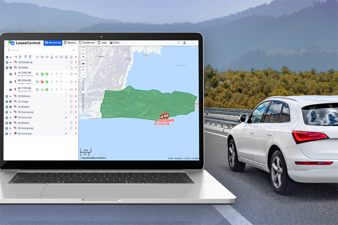
Gurtam’s Wialon subsidiary recently launched LeaseControl, a telematics solution for the vehicle leasing market that includes car finance, auto loans, vehicle leasing and high-risk auto deals. The vehicle leasing market grew from 8 million to 12 million cars between 2019 and 2021, the company said.
LeaseControl is a car loan GPS tracking product that features 24/7 technical support. LeaseControl also has in-built features for real-time vehicle tracking and turning off an engine remotely, the company said.
Contact: Kristina Kruchkova, Gurtam, kris@gurtam.com, https://gurtam.com/en/blog.
Fixposition Gets New Investors
Switzerland-based Fixposition AG has announced that transportation robot device manufacturer Segway-Ninebot invested in the company. Financial details were not disclosed. The GNSS company previously received funding from Serpentine Ventures, Amino Capital and MAX Electron as part of a $5.95 million seed round.
Contact: Fixposition, marketing@fixposition.com, www.fixposition.com.
Goertek Microelectronics Gets NextNav Certified Status
NextNav NN 0.00%↑ has announced that the Goertek Microelectronics SPL07-003 digital barometric pressure sensor’s test results have achieved NextNav Certified status. The process provides an independent verification of a barometric sensor’s performance to improve quality and consistency of digital pressure sensor products, the company said.
NextNav’s Pinnacle technology leverages barometric pressure data with its nationwide network to determine altitude with floor-level accuracy in multi-story buildings, the company said.
Contact: NextNav, media@nextnav.com, www.nextnav.com.
Skydel 22.12 GNSS Simulation Software Now Available
The Orolia GNSS simulation platform now features updated Skydel 22.12 software to offer full Galileo E6 HAS signal support. Skydel’s software-defined architecture allows the ability to be integrated, re-use hardware and be immediately upgraded, the company said.
The new updated feature extends to all Skydel-powered solutions — including the GSG-7, GSG-8, and Broadsim platforms. Skydel version 22.12 is currently available on the user site.
Contact: Charles Jones, Orolia, (585) 450-2889, charles.jones@orolia.com, www.orolia.com.

Immervision Partners With ModalAI for Drone Vision Solution
Immervision has partnered with ModalAI, a manufacturer of autonomous drone and robot technology to develop a ‘ready-to-fly' vision system for drone manufacturers, the company said. The solution incorporates the Immervision Imvisio-ML and the VOXL 2 platform to provide an image pipeline, from the optics to the hardware platform running the autonomous navigation software, the company said.
Contact: Paige McEachren, Immervision, paige.mceachren@immervision.com, www.immervision.com.
TraceSafe Announces Name and Symbol Change
TraceSafe has changed its name to ShiftCarbon and will change its ticker symbol to SHFT on the Canadian Securities Exchange. The company will continue using the TraceSafe brand for its suite of IoT and Real Time Location Services cloud platform products. Along with the name change, the company said it will adopt a new logo and has launched a new website.
Contact: Wayne Lloyd, ShiftCarbon, (604) 629-9975, wayne@shiftcarbon.io, www.shiftcarbon.io.
People
HERE Technologies has named Stuart Ryan as general manager of the Americas region. Stuart joined HERE in June of 2003 as a product manager, supporting the company’s Content Products. The company also named Sanjay Brahmawar and Robert Siegel to its Supervisory Board as independent members.
Daniel Jablonsky, president and CEO, Maxar Technologies MAXR 0.00%↑ has been named to the National Space Council’s Users Advisory Group (UAG).
Arity has hired Ted Babitz as business development executive. Babitz held management positions at GroundTruth, xAd and MapQuest.
RoboSense LiDAR has named Jamie Retterath as director of business development, automotive. Retterath was CTO of Vergence Automation.
Quuppa named Marko Kuhta as director of finance and operations. Kuhta joins the company from OP Bank.
Jobs
Business Development Manager, New Markets. Swift Navigation.
Senior Product Manager (Neuchatel, Switzerland). Orolia.
Project Manager (Granada, Spain). Orolia.
Senior Product Manager. ClearPathGPS.
Geospatial Business Development Representative - Land. Fugro.
Click HERE to Join our growing Location Business News LinkedIn Group!


