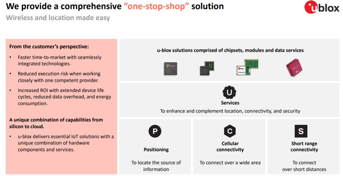
Thalwil, Switzerland-based u-blox [UBXN] has announced it will soon launch a Location-as-a-Service that incorporates its recently introduced PointPerfect, AssistNow, CloudLocate and CellLocate products. While PointPerfect brings GNSS to a mass market, the other services concentrate on different markets and technology requirements.
For instance, CellLocate is a mobile network-based location service, while CloudLocate extends the life of energy-constrained IoT applications through power-saving techniques, the company said. In addition, AssistNow provides in-vehicle navigation systems to determine their location within seconds when they are switched on and immediately reestablish a position fix when they regain GNSS coverage, for example, upon exiting a parking garage, the company said. The services will be sent through the company’s Thingstream IoT service delivery platform.
The entire Location-as-a-Service is now available, (Editor's note: previous versions indicated that the service is not yet available) said Eric Heiser, u-blox senior vice president and head of product services.
Heiser said the new program will allow customers to “pay as they go” for needed location services. He said the new service will allow customers to simply data communications between devices and the enterprise to improve ROI and efficiency.
One of the most interesting markets for PointPerfect, based on the open SPARTN GNSS correction data format, is robotic mowers, which need to operate in a trajectory line or fixed path for recurring schedules.
Contact: Natacha Seitz, u-blox, 41 76 436 0788, natacha.seitz@u-blox.com, www.u-blox.com.
GNSS Survey Dealers Sought For Burgeoning Worldwide Market
With new GNSS survey technology being rolled out, and a robust worldwide surveying and mapping market predicted, many established dealers are looking to expand their existing product lines.
While many survey dealers are established businesses, others are experienced entrepreneurs who want to set up a dealership in a specific country. Either way, survey dealers are selected by GNSS equipment manufacturers for a variety of reasons.
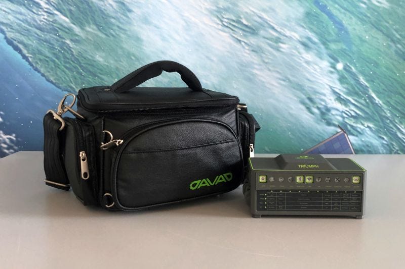
“With regard to our typical dealer, and the qualities we are looking for, this is quite a mix and depends upon a number of variables, with location being one of the biggest factors,” said Tom Hunter, JAVAD GNSS Chief Sales Officer. “In Europe and Asia, we have dealers that have been well established in the survey, mapping and reference station market segments. They have been successfully selling and supporting our products for a great number of years.”
Hunter said the company’s newer dealers, located in such places as Eastern Europe, Africa, India, Central America and other regions, have established survey sales and support organizations. “They wanted to have access to our newest high precision, real-time survey solutions to meet the requirements of their customers,” he said. “In the United States, we are now evaluating new dealer requests. We take into consideration dealer location, business size, staffing and their ability to promote and adequately support our survey products. In addition to new dealer requests, we are also adding independent agents as a supplement.”
Story Continues on Location Business News website.
Contact: JAVAD GNSS, (408) 770-1770, sales@javad.com, www.javad.com/jgnss.
Oceaneering and DDK Positioning Partner on GNSS Augmentation Services
Oceaneering International and DDK Positioning Limited have announced that they are partnering on GNSS augmentation services using Oceaneering’s C-Nav Positioning Solutions products.
DDK Positioning services, delivered through the Iridium satellite communications network, integrate hardware developed by Topcon.
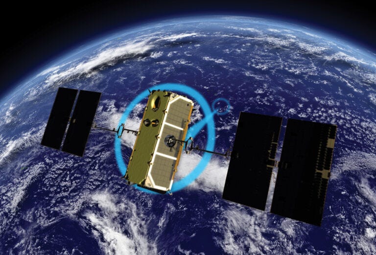
Initially, DDK Positioning will provide its MAX service to Oceaneering clients, which can achieve accuracy to less than 10 centimeters, the company said. The MAX service uses the GPS, Galileo, and GLONASS constellations, the company said.
The service allows Oceaneering’s customers to precisely position their assets globally and obtain two-way communication enabling machine control and feedback, the company said.
Contact: Oceaneering, oceaneering.com/positioning-solutions
Editorial
Royal Institute of Navigation President Warns Against EGNOS Loss
“The UK’s precipitous withdrawal from statutory agreements on the use of the European Geostationary Navigation Overlay Service (EGNOS) will adversely impact several transportation systems” warned Cynthia Robinson OBE, as she assumed the role of President of the Royal Institute of Navigation.
“Some UK regional airports have invested significantly in EGNOS, but the legislation underpinning its Safety-of-Life (SoL) service was withdrawn on 25 June 2021. The signals will still be transmitted by EGNOS satellites, but any pilot tempted to use these in the UK will no longer be indemnified should an accident or incident occur”, she advised.
“The EGNOS system not only improves accuracy in certain situations and locations but, importantly, quickly indicates any malfunction of GPS satellites”, added Cynthia. “Humans tend to believe implicitly the position they see on a screen and forget that the signals may have become corrupted en route from distant satellites”.
“The recent withdrawal of the legal indemnity for aviation EGNOS use in the UK could ultimately affect ships, autonomous vehicles and beyond visual line-of-sight (BVLOS) drones as well, unless a replacement solution can be secured quickly. The shipping industry will need to consider appropriate solutions for UK waters, as future maritime EGNOS Safety-of-Life services will no longer be made available to the UK in 2023. Possible future wider EGNOS V3 SoL services overlaying GPS and Galileo will also be denied to the UK”, warned the President.
“The Royal Institute of Navigation is working closely with the UK government on the implications of the loss of the EGNOS augmentation Safety-of-Life services, as well as advising on how best to build resilience, integrity and improved security into the positioning and navigation technologies that affect just about every aspect of our modern lives” concluded Cynthia Robinson.
Contact: Clare Stead, RIN, comms@rin.org.uk.
Other Location News:
News tip? Send them to kdennehy@driverlessreport.com.
😦 Tesla's Full Self-Driving Feature Mistakes Moon For Yellow Traffic Light. “One Tesla user recently posted a video clip on Twitter that showed his vehicle consistently mistaking the low-hanging moon for a traffic light.”
🚗 GM Sues Ford in Fight Over Branding of Self-Driving Cars. “The automaker’s taking action to protect the Cruise and Super-Cruise brands after Ford [F] in April renamed its Co-Pilot360 automated driving system as Blue Cruise, GM said in court documents.”
👍 Google Maps Expands Super-Useful Feature for Mass Transit. “After launching the feature in 200 cities in June 2019, the web giant is this week rolling it out to 10,000 transit agencies in 100 countries.”
🚘 Mobileye’s Self-Driving Vehicle Navigates New York Traffic. “Israel’s Mobileye, released a video this week showing its autonomous driving test vehicle navigating New York City’s busy streets.”
🚙 Google’s Self-Driving Startup Waymo Argues the UK Shouldn’t Cap Autonomous Cars on the Road.
✔ Asterx sb3: Next-Gen Gnss Receiver in a Ruggedized Enclosure. Septentrio’s AsteRx SB3 receiver family, enclosed in an IP68 housing.
Advertisement
Have you ever been reluctant to reveal your personal email address online or in person?
The answer is almost universally YES! So, if you happen to be one of those who thinks twice about these matters, ManyMe might be the answer to your worries.

Location Industry Briefs
Send your news to kdennehy@driverlessreport.com.
IoT Company Wiliot Raises $200 Million
Wiliot has announced it received $200 million in a Series C funding round led by SoftBank Vision Fund 2 to accelerate its IoT products that track and monitor crates, packaging and pallets.
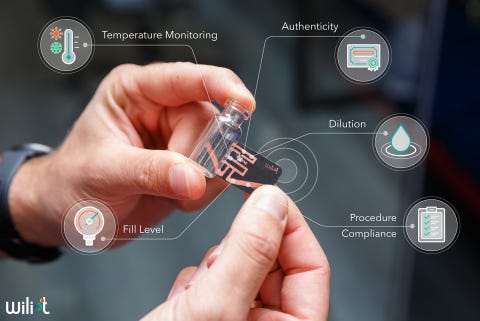
Wiliot’s platform, built on Wiliot IoT Pixels and the Wiliot Cloud, tiny low-cost, self-powered tags that attach to any product or packaging to sense a range of physical and environment data that is then fed into the Wiliot Cloud, the company said.
Wiliot-enabled products and packaging can sense temperature, fill level, motion, location changes, humidity, and proximity, the company said. Wiliot IoT Pixels can be integrated into vaccine vials, food packaging, and more, bringing real-time transparency to the supply chain, and the ability for brands for the first time to understand inventory levels throughout their retail channels.
Contact: Daniel Griffin, for Wiliot, (845) 536-2200, dan@griffin360.com, www.wiliot.com.
Trimble Boosts Flagship RTX Correction Service Performance
Trimble [TRMB] has announced its industry Trimble RTX correction services for geospatial professions. Trimble says the service offers convergence time reductions, more reliable and robust signals, and an easier workflow for surveyors.
These enhancements further enable geospatial professionals to untether from the cost and complexities of GNSS base stations and complete fieldwork faster, the company said.
These enhancements further enable geospatial professionals to untether from the cost and complexities of GNSS base stations and complete fieldwork faster, the company said.
Surveyors in many regions worldwide can now spend less time in the field with CenterPoint RTX correction service, converging in typically 3 minutes compared with up to 15 minutes in the past, the company said.
Contact: Trimble, positioningservices.trimble.com.
JAVAD Hosts Radio Solutions Workshop
JAVAD GNSS’ monthly workshop will be July 29 to learn more about the company’s radio solutions. Matt Johnson, PLS, will lead the workshop with some examples of his daily work with the company’s radios. Register 10 a.m. PST: https://lnkd.in/ewhdP4D;
register 10 a.m. CET: https://lnkd.in/e-Epr67.
Tracesafe Earns $3.4 Million in Second Quarter
Tracesafe Inc. [TSF] said it earned $3.4 million in revenue during the second quarter. The company said that current areas of expansion include asset tracking, employee time and attendance, and worker safety. The company recently signed deals with the Calgary Stampede, Oil Search, and others, for its location management services.
Contact: Wayne Lloyd, Tracesafe, (604) 629-9975, wayne@tracesafe.io.
Luokung Signs Deal With Geely
Luokung Technology [LKCO] said its Beijing-based eMapGo Technology subsidiary has signed a $2.5 million contract with Geely to provide autonomous driving simulation testing services. The goal of these tests is to improve the safety performance of Geely's driving assistance system and to accelerate the mass production of Geely's advanced autonomous-driving vehicles, the company said.
Contact: Luokung, www.luokung.com.
Shield Acquires Heron Systems
Shield AI has acquired Heron Systems Inc., a software company known for decisively defeating an experienced Air Force F-16 pilot 5-0, and five other AI-pilots, during the DARPA AlphaDogfight trials, the company said. "Shield AI enables us the opportunity and scale to accelerate the integration of our AI-pilot on a next generation fighter and UAS. What stood out about Shield AI for us – is that they're really the only ones who have an operational AI pilot that can operate on the edge without GPS or comms, and this has been proven on combat operations," said Brett Darcey, Heron Systems GM, in a statement.
Contact: Adi Raval, Shield AI, media@shield.ai, www.shield.ai.
LoJack Partners With Koelliker
The LoJack Connect has partnered with Koelliker to give its MAXUS eDELIVER 3 and eDELIVER 9 drivers greater visibility into kilometers traveled, route monitoring and departure/arrival notifications on a specific location such as a corporate office or delivery location. The Driving Style feature provides drivers with a score indicating their driving behavior based on an analysis of telematics data, the company said. In the event of a collision, CrashBoxx crash response services deliver real-time crash notification to loved ones and immediate assistance to the motorist from LoJack's 24/7 Security Operations Center, the company said.
Inteliquent Introduces NG 911 Location Agent
Inteliquent rolled out its NG911 Location Agent, an i3-compliant product for originating service and next generation core services providers and Public Safety Answering Points (PSAPs). Inteliquent's NG911 Location Agent will provide organizations generating NG911 Requests for Assistance (RFAs) access to i3 data delivery, the company said. This streamlines connectivity to NGCS providers and delivers data and multimedia to i3 PSAPs. The company said it has partnered with “a tier 1 wireless provider in the U.S. to prove that the new NG911 Location Agent supports all i3 compliant data flows including location.”
Contact: Inteliquent, inteliquent.com.
